, ,

Grade 5: Geog: Term 2: Physical features of South Africa

R450.00

Explore, observe and investigate the physical landscape of South Africa through this interactive, hands-on experience. Packed with 21st Century skills to encourage real growth and learning in every learner, see our country in a whole new way!

Explore, observe and investigate the physical landscape of South Africa through this interactive, hands-on experience. Packed with 21st Century skills to encourage real growth and learning in every learner, see our country in a whole new way!

Included in this package:

  • A lesson demo video: This video walks the teacher and learners through the various aspects and tasks in the lesson
  • A lesson plan: The lesson plan is downloadable and includes the lesson objectives, a list of the resources used and the equipment needed in the lesson, as well as a detailed explanation of the lesson flow. Assessment opportunities are highlighted.
  • Resources: Worksheets, videos, cards and digital resources required for the lesson are included in a downloadable format.
  • Assessments: Assessment opportunities are highlighted and where appropriate, assessment tasks including memos and rubrics are included.

Reviews

There are no reviews yet.

Only logged in customers who have purchased this product may leave a review.

You may also like…

  • Grade 5: NST: Term 1: Life and Living/Structures
    Grade 5

    Grade 5: NST: Term 1: Life and Living/Structures

    Rated 0 out of 5
    R700.00 Add to cart

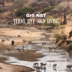
    Explore the world of vertebrates and invertebrates through their structures and life cycles and how they are connected through food chains. This module of practical, engaging and thought-provoking lessons will leave your learners wanting more!

  • Grade 5: Geog: Term 1: Map Skills: Africa
    Geography

    Grade 5: Geog: Term 1: Map Skills: Africa

    Rated 0 out of 5
    R450.00 Add to cart

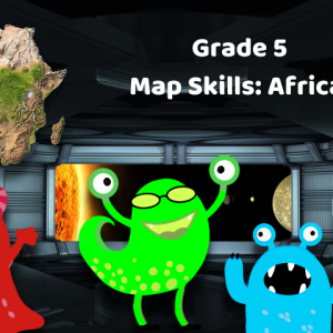
    A spaceship of intergalactic explorers is looking for a replenishment station somewhere in our universe. Earth has been proposed as a suitable stop and, once they’ve looked at the map and globe, the explorers decide to investigate further. Join them as they look at how the terrain is shown on a map, explore the wonders of Africa and determine how our maps and grid reference system work. They’re in for a real treat!